
Antarctic Site Inventory for the Global Scientific Community
History & Research Plan
The Antarctic Site Inventory began fieldwork in November 1994, examining whether opportunistic visits can be used:
To effectively and economically detect possible visitor¬caused changes in the physical features, flora, and fauna of sites in the Antarctic Peninsula being visited repeatedly by ship-based tourists;
To collect baseline information necessary to detect possible changes in the physical and biological variables being monitored; and
To determine how best to minimize or avoid possible environmental impacts of tourism and non-governmental activities in the Antarctic Peninsula area.
The Antarctic Site Inventory has demonstrated an ability to reach Antarctic Peninsula visitor sites frequently and cost-effectively, relying opportunistically on expedition tour vessels and, occasionally, government vessels for logistics support. Well-timed visits by trained researchers have proved an effective means of characterizing sites and for the collecting relevant biological data.
Data collected by the Inventory are intended to assist the implementation of the 1991 Protocol on Environmental Protection to the Antarctic Treaty, which, among other things, requires a priori environmental impact assessments for all activities for which advance notification is required, including tourism, and for monitoring to be done, as and when necessary, to assess and verify predicted environmental impacts.
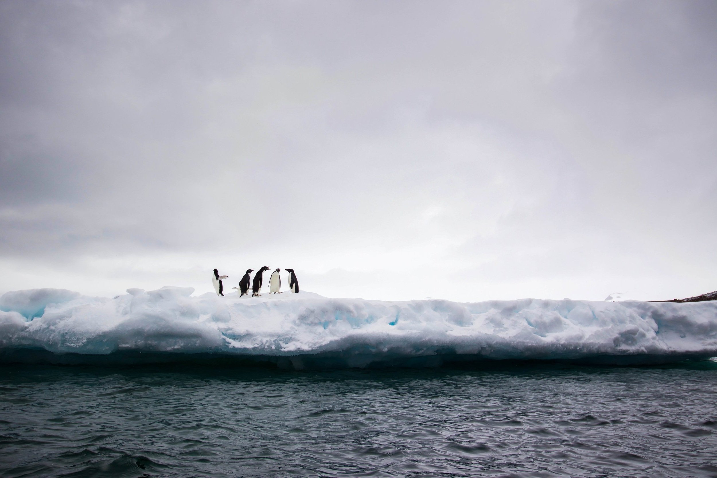
The Inventory is the only project monitoring penguin and seabird populations throughout the Peninsula, and the only project regularly censusing the species — diverse, environmentally sensitive tourism sites now subject to site visitation guidelines adopted under the aegis of the Antarctic Treaty.
The project involves two interconnected research activities: continued, long-term monitoring and censusing by the Antarctic Site Inventory of penguin and seabird populations throughout the Antarctic Peninsula using opportunistic ship¬‐based data collection; and the synthesis and quantitative analyses of numerous datasets detailing long-term environmental changes at diverse sites throughout the Peninsula.
These syntheses and analyses intend to:
Characterize decadal scale changes in these populations throughout the Peninsula;
Discern how Antarctic species are changing in abundance, relative abundance, and spatial distribution;
Identify the factors specifically driving these long-term changes;
Understand how Peninsula biological and physical processes, as well as direct/cumulative impacts from human activities, may connect;
Identify the likely drivers of population shifts (both numerical and spatial);
And forecast Peninsula-wide changes in the relative balance between the three pygoscelid penguin species.
The Inventory has created and continues to update fully digitized and annotated GPS maps for all of the locations in the Inventory. These maps include both biologically relevant information such as the location and boundaries of breeding bird colonies, as well as information on zodiac landing sites, commonly used visitor trails, locations of historical sites and markers such as cairns and stakes. Where appropriate, map locations are associated with regular and repeated photodocumentation of sensitive features such as lichen and moss assemblages.
With respect to penguins and flying birds, the focus is collecting data on the key biological variables of breeding population size (nest counts) and breeding productivity (number of chicks per active nest), which are the appropriate biological parameters for detecting direct and cumulative impacts on these populations.
Geospatial
To find and map every penguin breeding colony in the Antarctic Peninsula region (including the South Shetland and South Orkney Islands),
To use ASI census data to maintain updated estimates of total regional penguin populations and to contribute these data to estimates of global penguin populations, and
To monitor penguin population trends and to use these trends to understand how ecological communities may be changing in response to a suite of environmental or other anthropogenic stressors.
In addition to our historic focus on penguins and other seabirds, we are expanding our monitoring efforts with a new project that will catalog moss and lichen biodiversity in this region, adopting a new approach based on photographic sampling that promises to greatly improve our understanding of processes driving floral biodiversity in the Antarctic.
In the last few years, we have used ASI data to show a southward migration of gentoo penguin breeding and extremely rapid population growth in newly established colonies at their southern range boundary. We have used the comprehensive spatial coverage of the ASI to update estimates of the global population of gentoo penguins and found that significant population increases resulting from climate change warrant a reevaluation of their "Near Threatened" IUCN status.
As well, our data has provided unambiguous evidence that chinstrap penguins are declining rapidly throughout the Antarctic Peninsula region, despite a loss of sea ice that was thought to be to their benefit. Despite the methodological challenges inherent to opportunistic data collection, we have repeatedly demonstrated its utility for monitoring ecosystems on the Antarctic Peninsula, and intend to continue pushing the envelope on low-footprint, spatially¬ extensive ecological monitoring.
This integration of statistics, imagery analysis, and field work is a genuinely unique approach to regional¬ scale monitoring which will significantly advance our understanding of penguin population dynamics in this region and will serve as a prototype for similar integrated monitoring programs in other remote locations around the world.
Download the poster showing achievements through the first ten years of the project.